TAAL VOLCANO
Batangas Province
Jump-off point: Talisay, Batangas
LLA: 14°00.1' N, 120°59.1' E, 311 MASL Days required / Time to summit: Half-day, 45 minutes
Specs: Minor climb, Difficulty 2/9, Trail class 1, Trail length: 1.7kms
BACKGROUND

Taal Volcano, said to be the smallest active volcano in the world, is a famous tourist spot 50 kilometers south of Manila. Its mysterious shape, as well as its location of being on an island within a lake within an island, makes it a unique geologic wonder, fascinating thousands of tourists – and scientists – yearly. Tales of lost cities, submerged ancient ruins, and peculiar sea creatures add another dimension to the legendary volcano. For outdoor enthusiasts, the mysteries of Taal are unraveled with an adventure that entails crossing Lake Taal, and taking a 45-minute climb to reach the Crater Lake of Taal Volcano. Unknown to many, Taal was once a colossal volcano, rising to 5800 meters, two-thirds the height of Mt. Everest. Due to its prolific volcanism, however, this grand mountain became reduced to a lake, the present-day Taal Lake, and the once-enormous volcano became Taal. This is the reason why, at the summit of Taal, you would see a circle of highlands: Tagaytay (W), Mt. Batulao (SW), Mt. Maculot (SE), Mt. Malipunyo (E), and Mt. Makiling (NE).

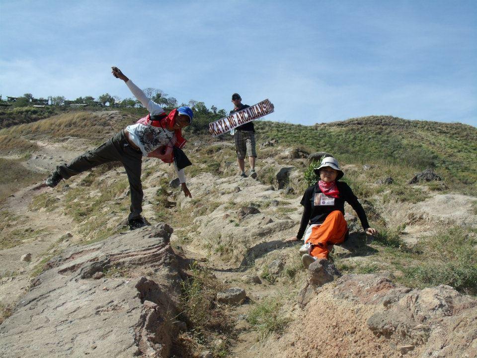
A lofty Mt. Banahaw looms in the distant east. Some of these mountains once formed the outer rim of the grand mountain, once the highest peak in the whole of Southeast Asia. An air of this prehistory remains in Taal, although tourism has a more marked presence. Horses (P400) and even umbrellas will be rented to you upon your arrival, and some will offer themselves as guides. As you go up the 1.7 km trail called “Daang Kastila”, the rocks have a volcanic quality, as expected, and steam vents would be encountered, giving off a sulfuric odor. The path is wide and the ascent benign.
Be reminded, however, that this trail is dusty and exposed to the sun, hence it is best done early morning. Nice views abound along the trail, including the structure which is the “Taal Volcano of postcards”, Binintiang Malaki (NW). Near the summit the trail will be a bit steep, but still easy. The culmination, upon reaching the summit, is of course beholding the Crater Lake. As you gaze downwards to the green, 2-km wide Crater Lake, volcanic steam would effuse up the vents at the NE edge of the lake, and varicolored rocks layer the cliffs that wall the lake. You could trek all the way using down the lake using alternate trails, taking ~30 minutes, and take a refreshing swim. The waters beneath are 100-150m deep, and are mildly sulfuric. Amazingly, there is an island in the crater lake, called Vulcan Point.

It is thus an island within a lake within an island within a lake within an island! The summit of Taal Volcano is also an excellent viewpoint, affording a view of the above-mentioned mountains forming a ‘circle’ around Taal. The volcanic edificies of Taal, The nearby structures, including the crater of Mt. Tabaro (site of the most recent eruptions) and its lava fields (SW), can also be explored given ample time. The Kaygabok shoreline is the jump-off for this trek although interconnecting trails do exist (ask the local guides). In the summit and throughout the volcano, the winds are refreshing and the views even more so: Taal Volcano is one of the best daytrips from Manila.

Note:
Thanks to PinoyMountaineers.com owned by Dr. Gideon Lasco for the informations we used in this website.

