MT. DAMAS
San Clemente, Tarlac
Major jumpoff: Dueg Resettlement, San Clemente Tarlac
Alternate jumpoff: Brgy. Papaac, Camiling Tarlac
LLA: 685 MASL
Days required/ Hours to summit: 1-2 days/ 4-5 hours
Specs: Minor climb, Difficulty 5/9, trail class 1-3

BACKGROUND
Looking for a new experience in the north? Through the information and support provided by Tarlac-based GAME-NEST hiking club, is pleased to feature Mt. Damas, an exciting new hiking destination in Tarlac.
Mt. Damas is situated near the border of 3 Tarlac towns: Mayantoc to the southeast, Camiling to the north and San Clemente to the west. The trek starts off at the Dueg resettlement - a relocation site established after the Mt. Pinatubo eruption. Although there were original settlers before the eruption almost half of the population in the community were resettled from the various towns that were hardly hit by the eruption and the lahar flow.

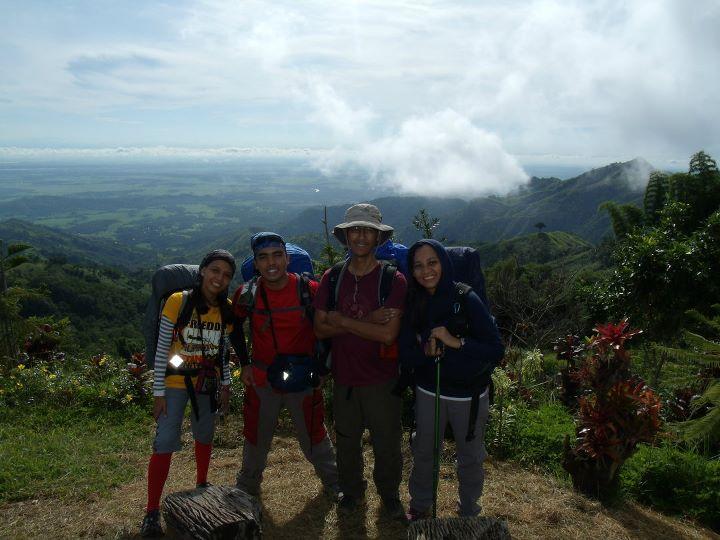
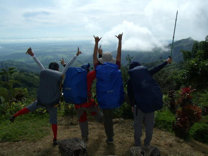
The view from the jump-off itself is rewarding. One can experience a panoramic view of the Tarlac and Pangasinan plains and Mt. Arayat from afar. Despite not having much tree cover throughout the climb, the first 45 minutes of descent through the cogon grass will lead you to a river. From there 30 minutes of river crossing will commence the 3 hour assault to the summit. The trail from this point is not well established but guides can be asked to clear the trail so expect a lot of rest in during the assault. A small nipa hut can be found around 30 minutes before the peak to provide shelter in case of a downpour or strong winds since the summit itself has no pronounced windbreakers.
Once on top, photo ops are excellent which include the Tarlac and Zambales ranges, Mt. Pinatubo, Sawtooth Mountains and Mt. Tapulao (S), Tarlac-Pangasinan mountain ranges (W) Tarlac plains (E), the town of San Jose (SE) and the province of Pangasinan (N).

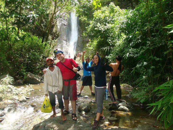
Mt. Damas may arguably have the distinction of being the most scenic mountain in Tarlac. One of the more exciting highlights, aside from the captivating sunrise amid the morning clouds is the 2 and a half hour descent to Ubod falls. Again, the trail is not well established and the slope gets steeper as you descend towards the river from this point 15 minutes of river trekking will take you to Si-eL falls, (named after the school were all of the first explorers were studying). Another 30 minutes of river trekking will lead you to the 120 foot Ubod falls. From there, one can have lunch and explore the area.
After taking your lunch, backtracking 45 minutes to the river will lead you to a fork, take the left turn and proceed with river trekking, you will have to climb on the side of smaller waterfalls during this 2 hours of river trekking after which you will enter a forest trail leading to another hour of trekking to Papaac, Camilng.

Note:
Thanks to PinoyMountaineers.com owned by Dr. Gideon Lasco for the informations we used in this website.

