MT. PULAG (AMBANGEG TRAIL)
Bokod, Benguet
Major jump-off: Ambangeg Ranger Stn, Bokod, Benguet
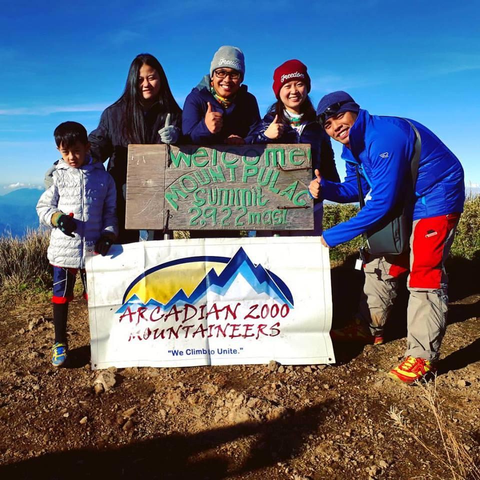
LLA: 16°34'58"N 120°53'15"E, 2922 MASL (#3)
Hours to summit / Days required: 4-5 hours / 2 days
Specs: Major Climb, Difficulty 3/9, Trail class 1-2
BACKGROUND

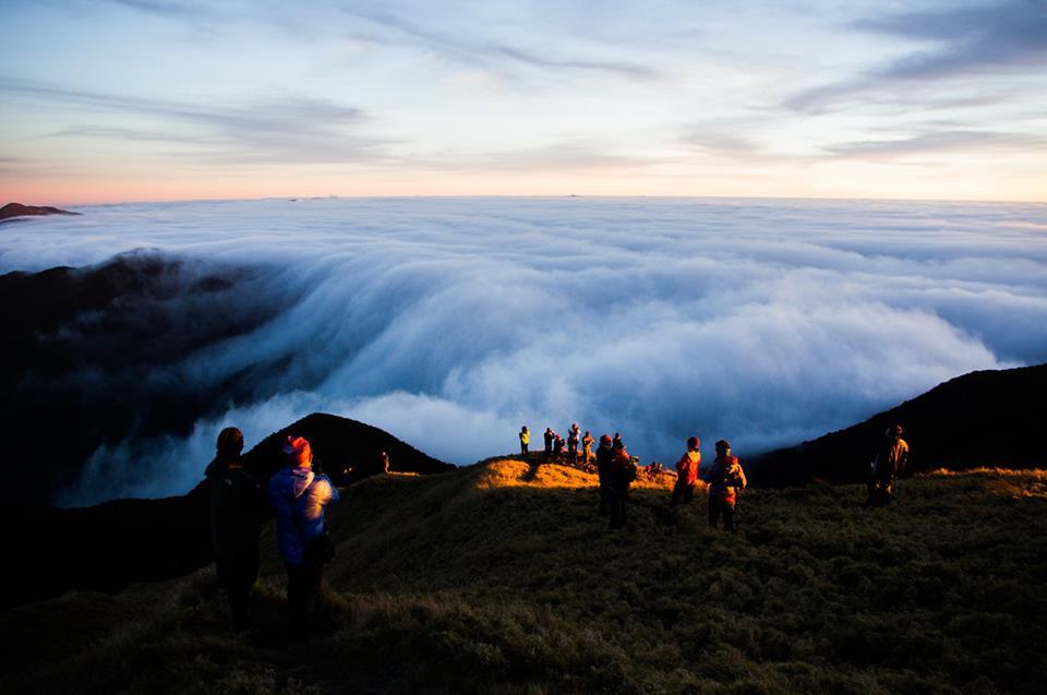
Majestic Mt. Pulag is highest peak in Luzon and one of the most beautiful mountains in the Philippines. Its fabled views, of winding slopes of dwarf bamboo, and distant peaks surging like islets in the ocean of lofty clouds, comprise perhaps the most breathtaking sights in Philippine mountaineering. The native tribes say that Mt. Pulag is the "playground of the gods". In Luzon, it is literally the closest to heaven that mountaineers can get!
The enchantment of Pulag, however, is much greater than just the clouds and dwarf bamboo. The entire experience is a great treat that makes the long travel time (10 hours from Manila to Baguio then Baguio to the jump-off) worth it. Whichever trail you choose - the easy Ambangeg, the challenging Akiki, the arduous Vizcaya trail, or the various traverse climbs - Pulag is a great adventure. Of course, many would opt to do different trails in one climb, the most common of which is the Akiki-Ambangeg combination. When you climb Mt. Pulag, you would already start off on a high altitude. The cool weather is refreshing; if you are not prepared the weather will become a great burden because temperature have been recorded at -2 C. But with proper preparation, the cold weather is quite an experience. Pine trees are everywhere, and you will encounter villages of the Kankaney and Ibaloi tribe.

Their children are very cute, and bear a resemblance to the high altitude peoples of the world, such as the Eskimos. Their main livelihood is agriculture; you will pass through sloped plots of cabbages, lettuce, potataos, and other crops that ultimately find their way in Baguio's famed markets. Bear in mind that the region is the 'Salad Bowl' of the Philippines. THE TRAILS OF MT. PULAG The map illustrates the approximate locations of each trail, as well as its path, in relation with the summit of Mt. Pulag. The Ambangeg Trail is discussed in this main article. Visit also the Akiki Trail and the Tawangan Trail. THE AMBANGEG TRAIL It is very convenient to make arrangements for jeepneys from Baguio to take you directly to the Badabak Ranger Station. This significantly cuts climbing time, and it makes possible a 2-day Pulag climb. If you arrive early in the morning in Baguio, you can take the jeep and be at the Ranger Station by lunchtime. From the Ranger Station to the summit is around 8 kms. First you will pass by wide trails, surrounded by pine trees and picturesque landscape. After awhile, you will enter the montane forest, with its grand spectrum of flora - from the pink flowers known locally as ayusep (see photo) and various mosses to the archaic, bonsai-shaped trees. The next landmark in the middle of the mossy forest is Camp 1, marked by a hut. In the entirety of the trek to the grassland, there's only one moderately steep part, taking just a few hundred steps.

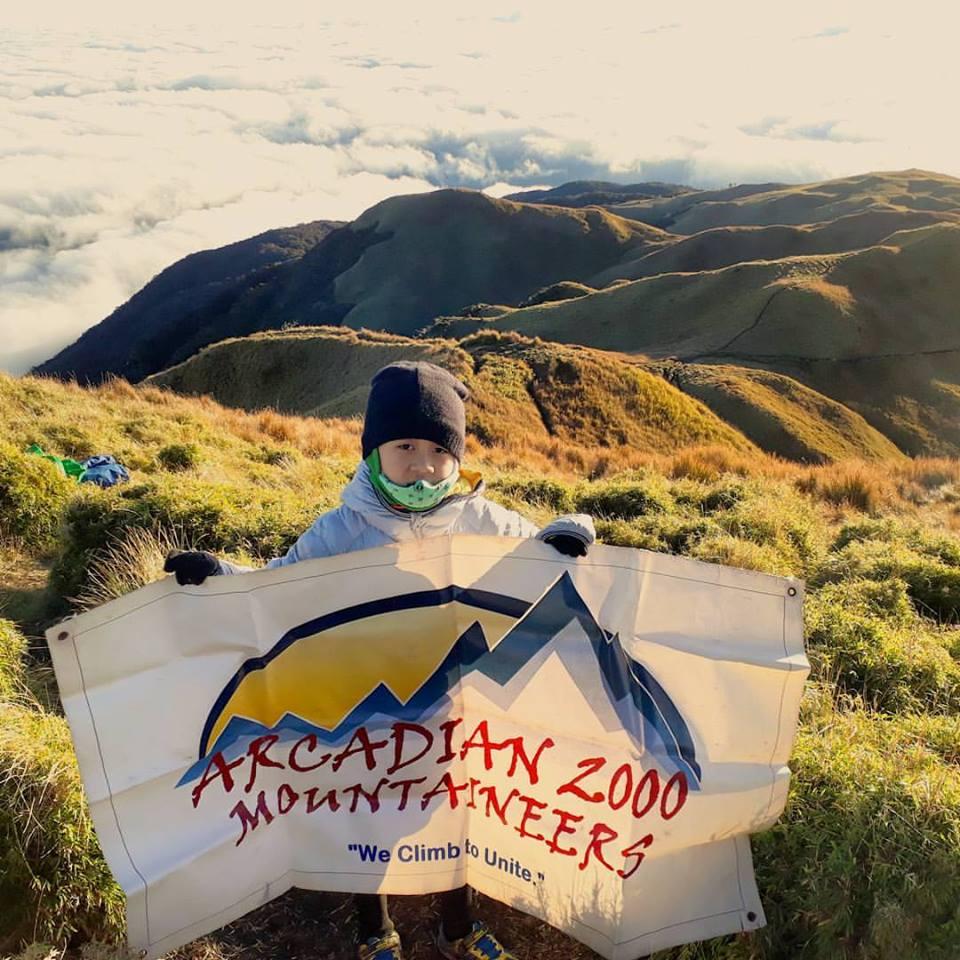
Actually the trail is very relaxing and enjoyable, with the cool weather and the encounter of various faces of the mountain (pine trees, montane forest, grassland). At the montane forest, you will catch the first glimpse of the Pulag summit, which has a hue of golden brown. There are a few campsites to choose from: Camp 1 is still within the mossy forest area; in Camp 2 the grassland is just beginning (2600+ MASL). There is also another campsite which goes beyond the summit, on the way to the Akiki trail. This is the saddle campsite and is preferred by those who want close proximity to the summit. Camp 2 is the most advisable campsite, with a close water source, latrines (work in progress), nice views, and more manageable weather conditions. However, the saddle campsite, being very the near the summit, takes you as close to the sky as possible. Either way, brace yourself! Temperatures can really plummet to near-freezing levels. Ranger Station to Campsite 2 takes around 3 hours. From this camp, the summit assault is typically done either late afternoon (for the sunset) and very early morning (for the sunrise). The trail beyond this point is offers unparalleled grassland landscapes, with the grand array of the Cordillera mountains as backdrop. The dwarf bamboo grass that envelope the slopes is a wondrous presence. After an hour of trekking, you will finally reach the summit, that is, the highest point in Luzon. The summit views of Pulag are fabled and legendary.

On a blessed time, seas of clouds form beneath, covering everything but the highest points in the Cordilleras: Mt. Amuyao rises very distinctly northeast, then the twin Mts. Kapiligan and Napulauan (NNE). Mt. Amuyao (L) and Napulauan (R). Mt. Tabayoc (N) and Pulag is separated by Mt. Panotoan (N). Then moving your eyes westward, you will see the the mountains of Tenglawan and Kibungan (NW), and you will also appreciate Mt. Timbak (WNW), said to be the Luzon's third highest point. The range from which Mt. Timbak rises is one where the Halsema highroad, the Philippines' highest highway, passes. In this range one can also see Mt. Pawoi (W). Beyond this, further west, is already the Ilocos region. Baguio City and Mt. Sto. Tomas continue the visual circle (WSW) and if the sea of clouds is lower than 2100 MASL, you can also see Mt. Ugu (S). These are objective sights to see, but the subjective feeling of being there, above the clouds, is hard to put in words. How beautiful exactly? One has to go to Pulag in order to find out. It will be more than worth it.
Note:
Thanks to PinoyMountaineers.com owned by Dr. Gideon Lasco for the informations we used in this website.

